Examples
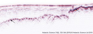
Subglacial topography and thickness of ice caps on the Argentine Islands
This example presents the first subglacial topography and ice thickness models of the largest ice ca...
More
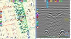
Utility mapping with RadarMap software
RadarMapsoftware is designed for real-timeunderground utility detection and mapping.Fully touchable ...
More
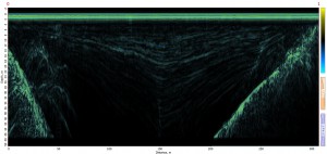
The Eastern Summit Crater of The Mount Elbrus
Ground Penetrating Radar survey results of the The Eastern Summit Crater of The Mount Elbrus, 5600 m...
More

Glacier profiling central Iceland
Ground Penetrating Radar survey results of the Mulajokull and Tjorsarjokull surge-type glaciers (Hof...
More
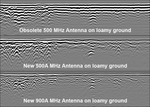
Loam agricultural field profiling by Advanced 500A and 900A antennas
Cabels detection on loamy agricultural field by Advanced Shielded Air launched500Aand900Aantennas. J...
More
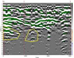
Cavities detection by Python GPR at 25 MHz
Cavities detection in limestone hill covered by loam byPython GPR at 38 MHzat 25 m and 5 - 15 mdepth...
More
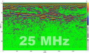
Sandy dune profiling by Python GPR at 25 MHz
Sandy dune deepprofiling near the Riga, Latvia. June, 2012.Python-3 GPR 25 MHz antennawas used
More
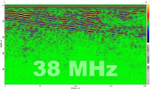
Sandy dune profiling by Python GPR at 38 MHz
Sandy dune deepprofiling near the Riga, Latvia. June, 2012.Python-3 GPR 38MHz antennawas used
More
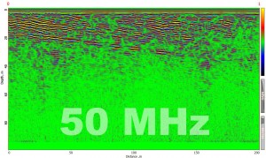
Sandy dune profiling by Python GPR at 50 MHz
Sandy dune deepprofiling near the Riga, Latvia. June, 2012.Python-3 GPR 50MHz antennawas used
More
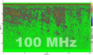
Sandy dune profiling by Python GPR at 100 MHz
Sandy dune deepprofiling near the Riga, Latvia. June, 2012.Python-3 GPR 100 MHz antennawas used
More
